Glattalpsee Circuit - Glattalp, Muotathal
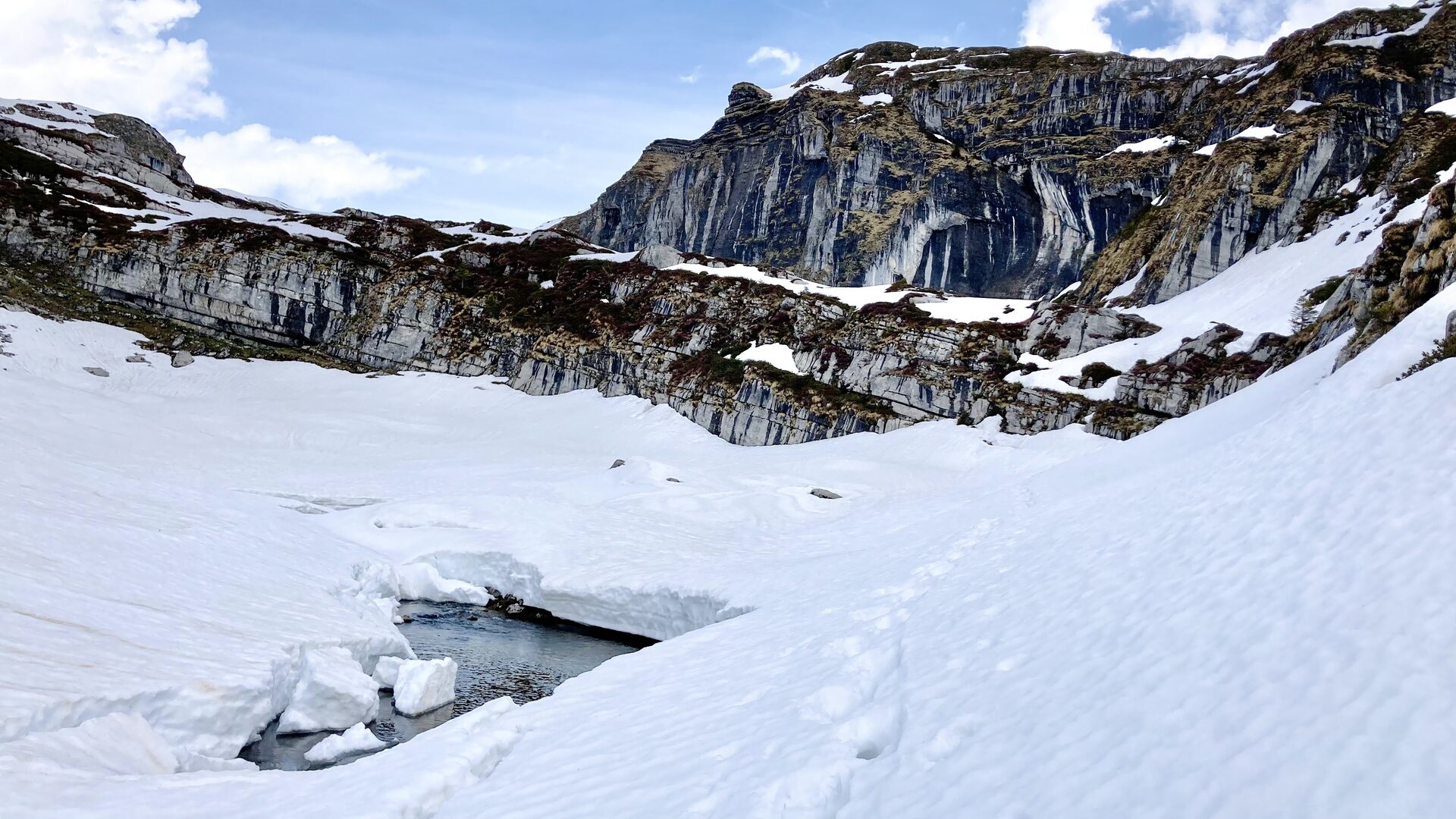
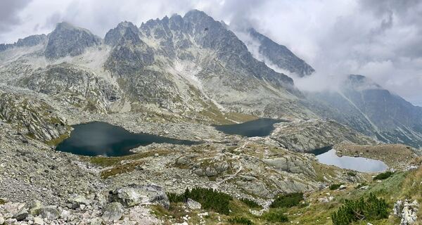
The Glattalp is a high karst basin at the very back of the Muotathal, above Bisisthal in canton Schwyz, holding a turquoise lake at about 1853 m with the Höch Turm and the Ortstock closing off the skyline.
Glattalp / Glattalpsee, 1853 m - Sahli to Glattalphütte and lake circuit
T2 · Sahli 1149 m to Glattalphütte 1896 m: 4.7 km, 760 m ascent, approx. 2 h 30 · lake circuit: 7.1 km, 162 m, approx. 1 h 45 · limestone karst
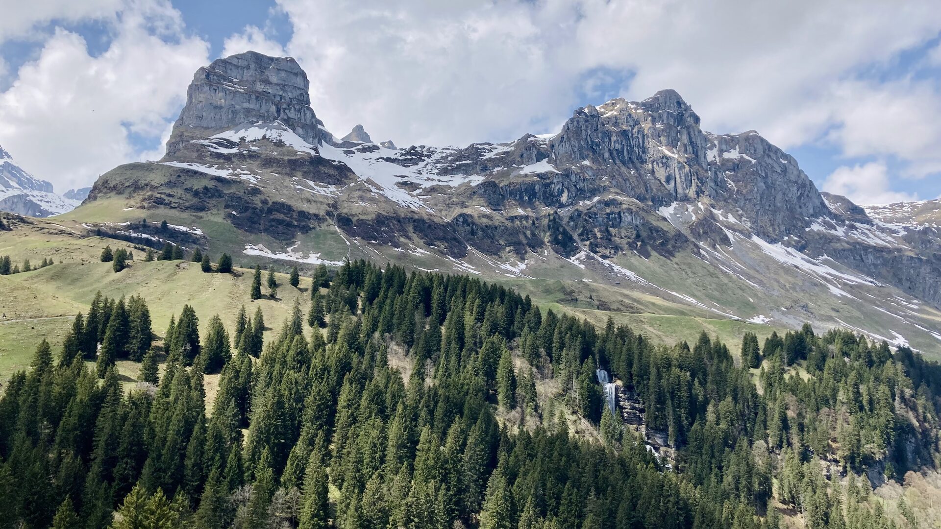
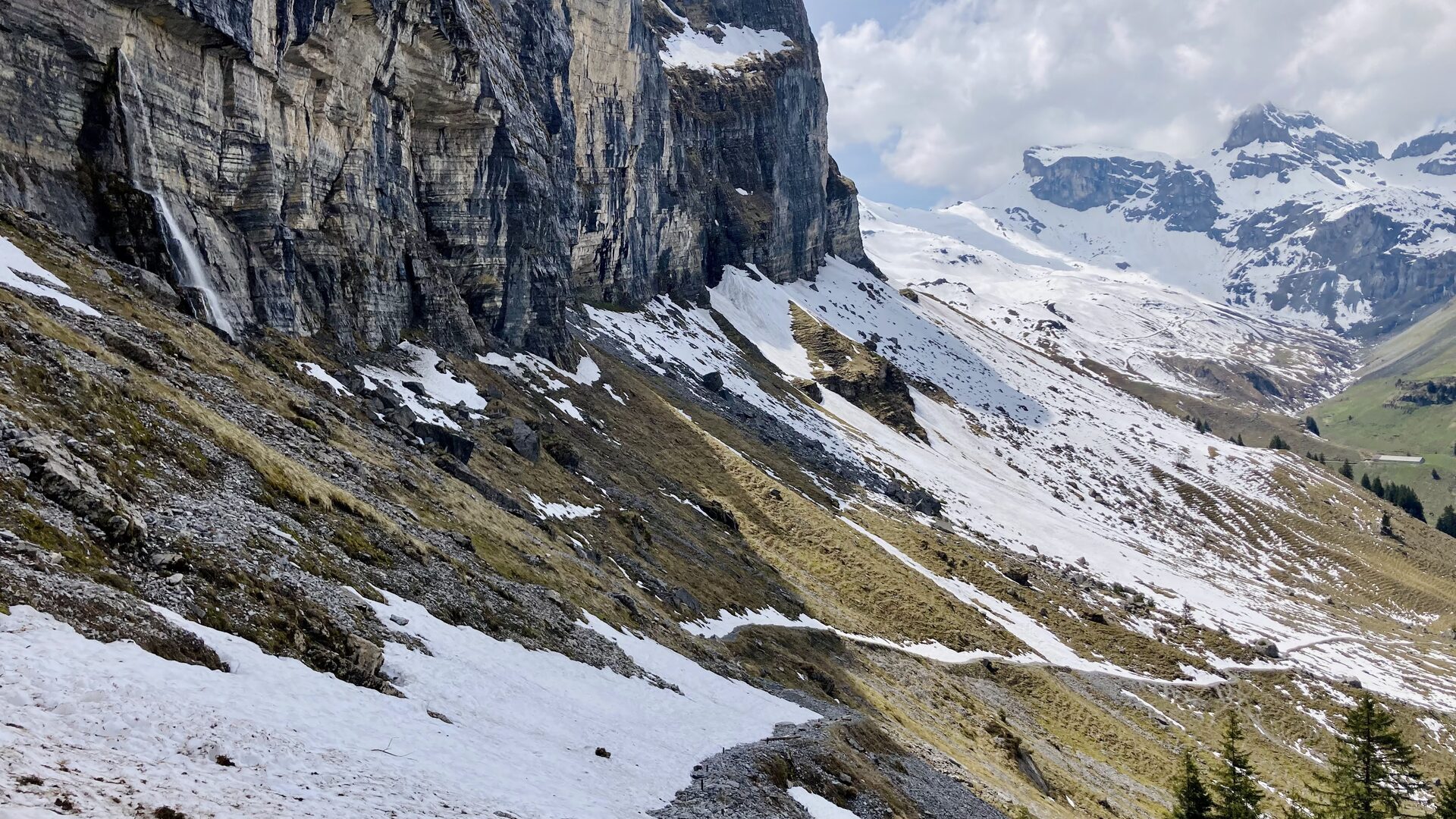
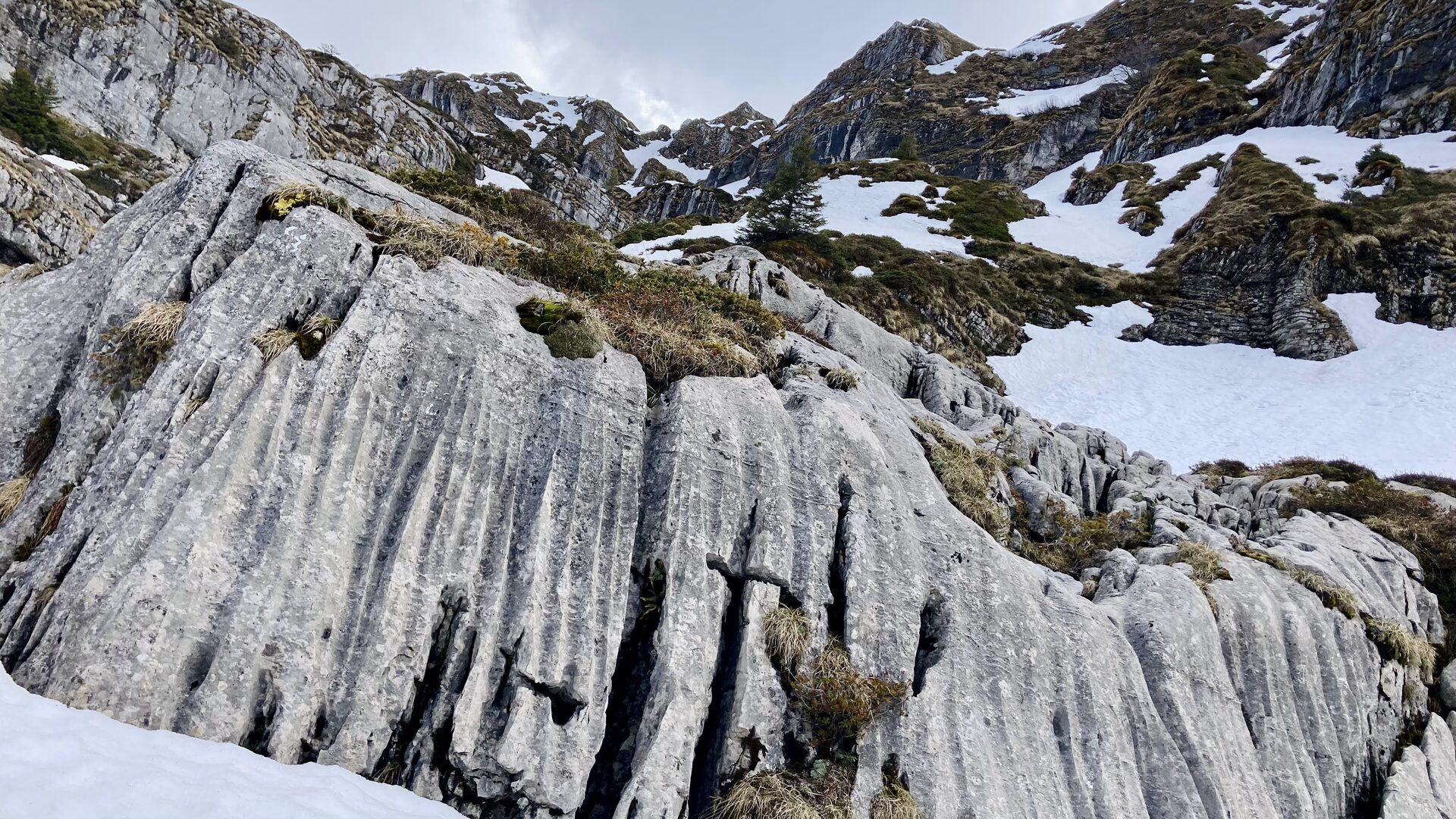
The plateau sits in the middle of Switzerland’s largest karst landscape, and the limestone does what limestone does: the Glattalpsee has no surface outflow at all. Water either seeps straight through the lake bed - up to around 700 litres per second, close to half the inflow - or is drawn off to the Sahli power station down in Bisisthal. Three streams feed it, the Glattalpseebach and the Vorderer and Hinterer Läckibach. Over winter the lake largely empties through the floor and only refills once the snowmelt starts, which is why its size and shoreline look so different from one visit to the next.
The Glattalpbahn cable car only runs from about June, so early in May the plateau has to be reached on foot — which is how I went up.
Logistics
Approach
By car: Schwyz - Muotathal - Bisisthal to Sahli, where there is parking at the valley station (1149 m). By public transport: train to Schwyz, then Postauto through the Muotathal to the Bisisthal, Sahli cable-car stop - the last leg is a small bus with a sparse timetable. On foot, a well-built mule track climbs from Sahli through the headwaters of the Muota to the Glattalphütte at 1896 m: 4.7 km, 760 m of ascent, about 2 h 30, graded T2. The lake circuit from the hut is 7.1 km with 162 m of ascent, about 1 h 45, also T2.