Grześ - Western Tatras
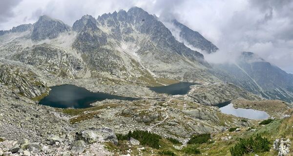
Grześ (1653 m, Slovak Lúčna) is a grassy border summit in the Western Tatras, at the head of Dolina Chochołowska and on the northern ridge running down from Wołowiec. It is reached by the yellow trail from the PTTK hut on Polana Chochołowska, and its slopes fall into three valleys: Chochołowska on the Polish side, Łatana and Bobrowiecka on the Slovak side.
Grześ, 1653 m / Yellow trail from Polana Chochołowska
Marked hiking trail, no fixed protection or cables / 3 km and 505 m ascent from the hut (1146 m) / approx. 1 h 45 min up, 1 h 15 min down / Triassic quartzite sandstone, grass and dwarf pine
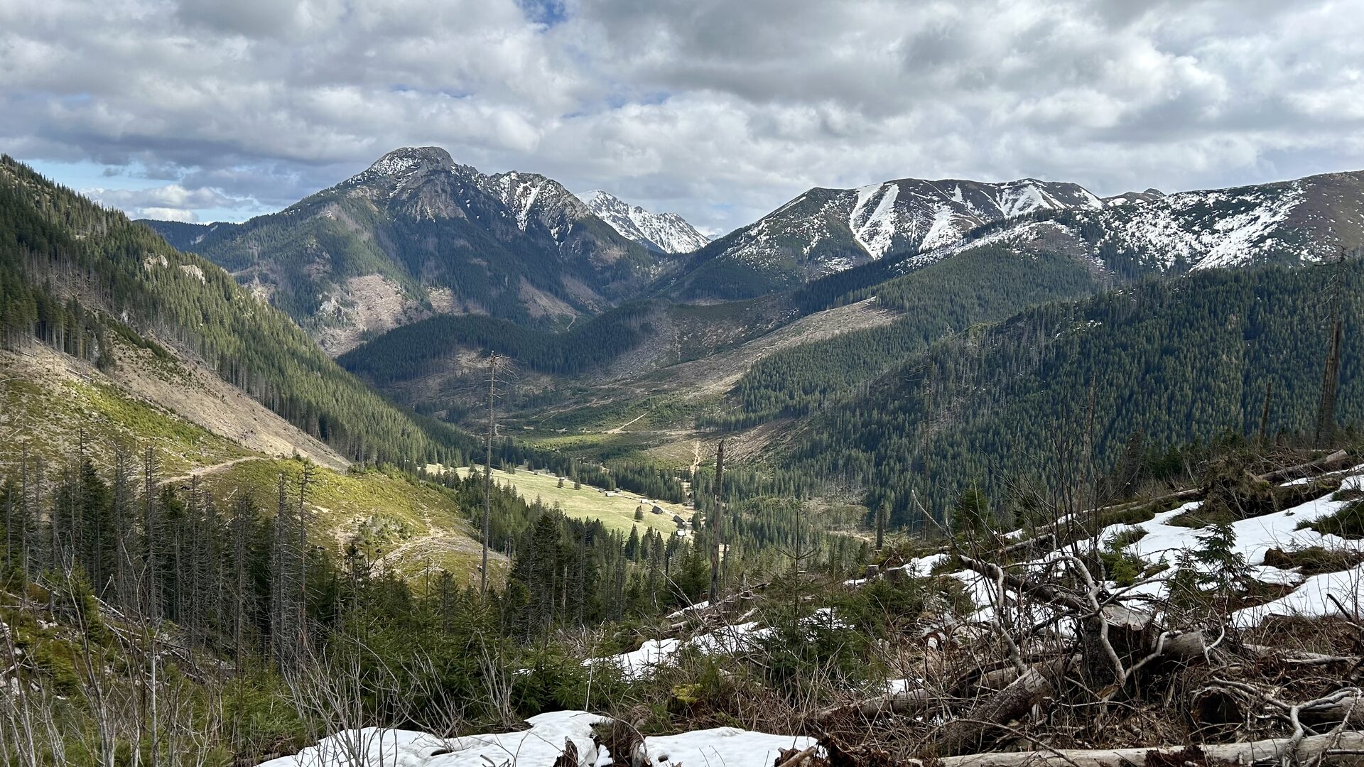
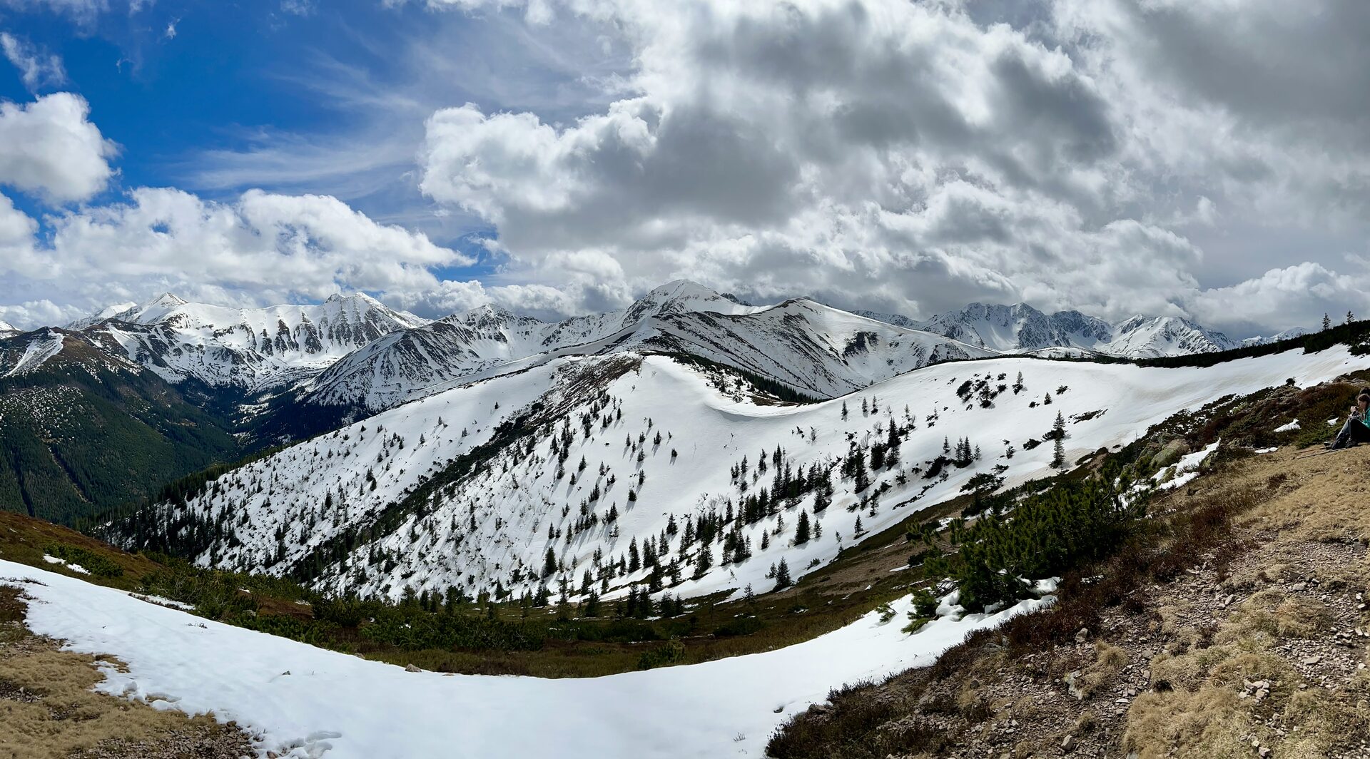
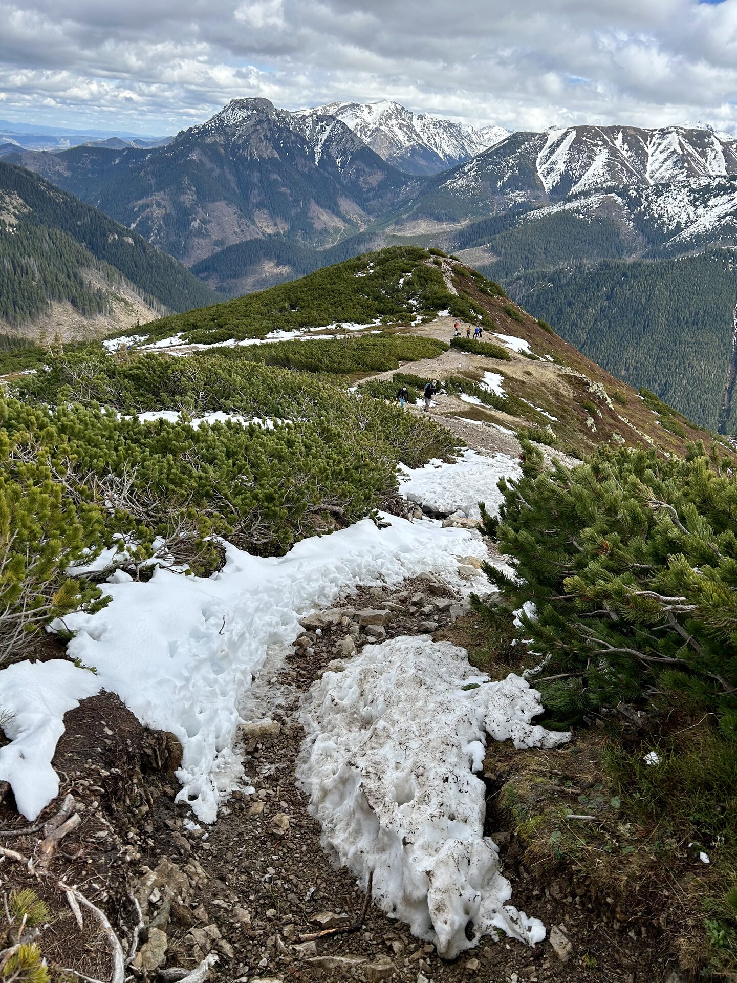
The summit ridge is the Polish–Slovak border, and it also carries the European main watershed: rain falling north of the crest ends up in the Baltic, rain falling south of it in the Black Sea. Grześ has two barely separated tops — the lower one is called Kruźlik — with a small seasonal pond in the shallow saddle between them. The ground is grass and dwarf pine, old pasture rather than rock, and the summit itself is built of hard Triassic quartzite sandstone; the crystalline core of the Western Tatras begins just beyond, towards Wołowiec. A wooden cross on top commemorates meetings held here in 1992.
Logistics
Approach
Park at Siwa Polana (Witów) and follow the green trail up the valley to Polana Chochołowska — roughly 7.5 km, about 2 h 30 min on foot, asphalt as far as Polana Huciska (about 3 km) and a stony hardened road after that. Horse-drawn carts and bicycles are commonly used for this section. From behind the hut the yellow trail climbs the old nineteenth-century mining road through spruce forest along the Bobrowiecki stream, passes the junction for Bobrowiecka Przełęcz (1356 m), then gains the ridge and follows it, steepening near the top, through dwarf pine to the summit: about 3 km and 505 m of ascent, 1 h 45 min up and 1 h 15 min down. From the Slovak side a green trail comes up via Przełęcz pod Osobitą in about 2 hours.