Roháče Tarns Loop – Western Tatras
Pętla przez Stawy Rohackie — Western Tatras (Roháče), Slovakia
Hiking / ~13–14 km / ~750–800 m ↗ / ~4.5–5.5 h / from Zverovka (Roháče-Spálená)
A classic loop through the Roháče tarns, taking in a big waterfall, a chain of glacial lakes and a valley hut. High point at the Upper Roháče tarn, 1719 m.
Route
- Start – Roháče-Spálená car park (Zverovka). Follow the red trail; about 30 min of warm-up along the asphalt road up the Roháčska valley to the Adamcula junction.
- Up to the Roháč waterfall (Roháčsky vodopád). At Adamcula turn right onto the yellow trail; ~30 min through forest to the viewing platform at the 23 m falls.
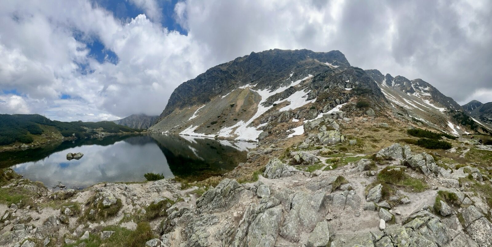
- Up to the tarns. From the waterfall take the blue trail — the steepest, most demanding stretch (stone steps). Above the treeline you reach the Front (Predné) Roháče tarn.
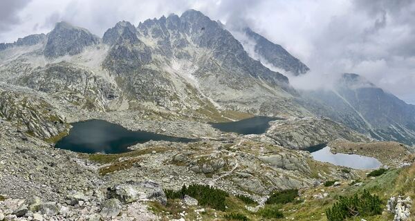
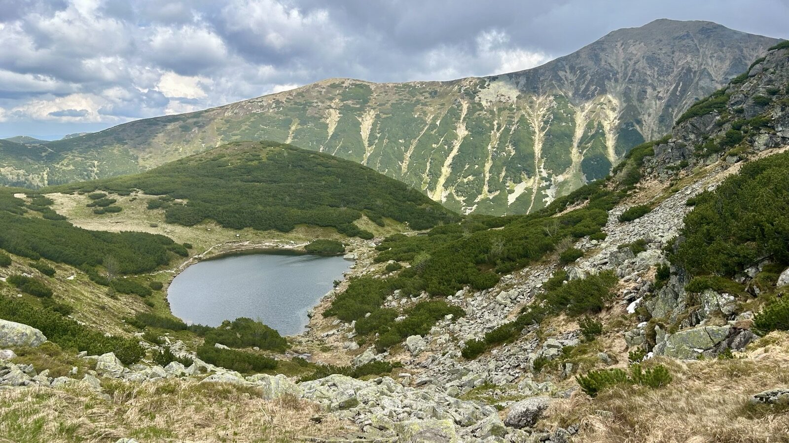
- Around the tarns. Switch to the green trail, following terraces past the Malé, Prostredné and Upper (Vyšné) tarns — high point 1719 m. A perfect rest-and-photo spot below the rocky walls of the Roháče.
- Down to Tatliakova chata. The green trail switchbacks down the Smutná valley through dwarf pines (~1 h) to Tatliakova chata (little Tatliakovo pleso alongside) — a good place to stop for a warm meal (e.g. kapustnica).
- Back to the car park. From the hut, the wide asphalt road (red trail) — ~4–5 km of gentle downhill (~1–1¼ h).