Bisaurín - Normal Route from Lizara
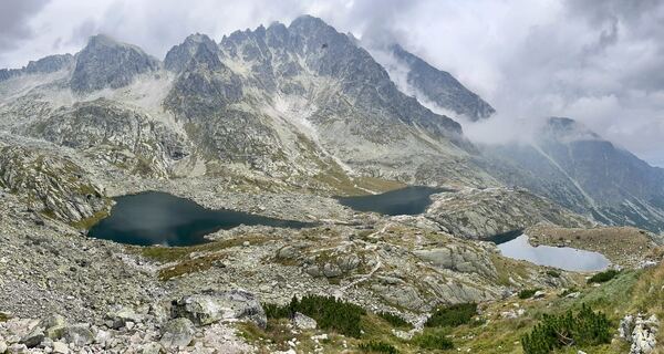
Bisaurín, the highest peak of the western Aragonese Pyrenees. Sunny in the valley but very windy, and cold up high with fresh snow lying on the summit.
Bisaurín, 2669 m / South slope · Normal route via Lo Foratón
Non-technical hike (F) / 6–8 h round trip / ~1150 m ↗ / Gear: hiking boots, poles
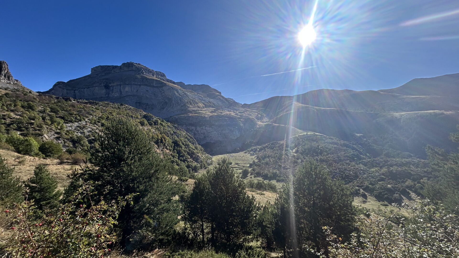
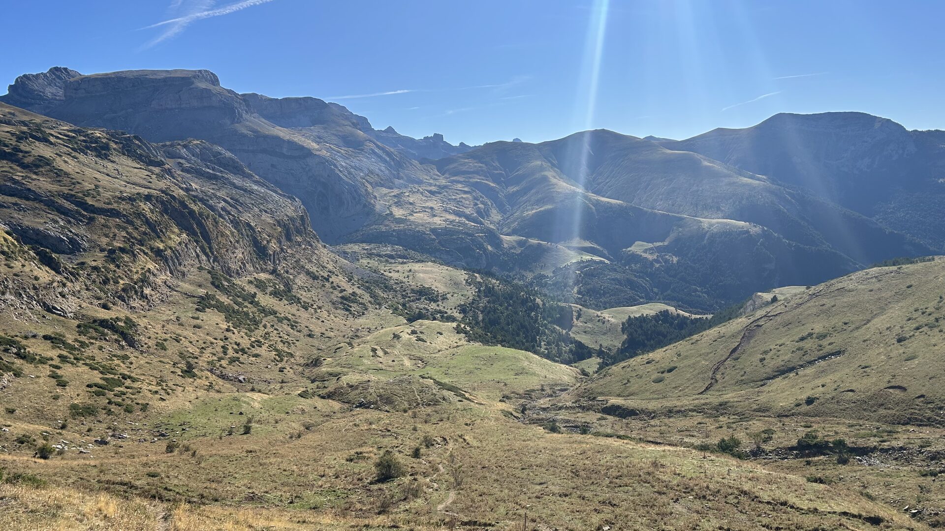
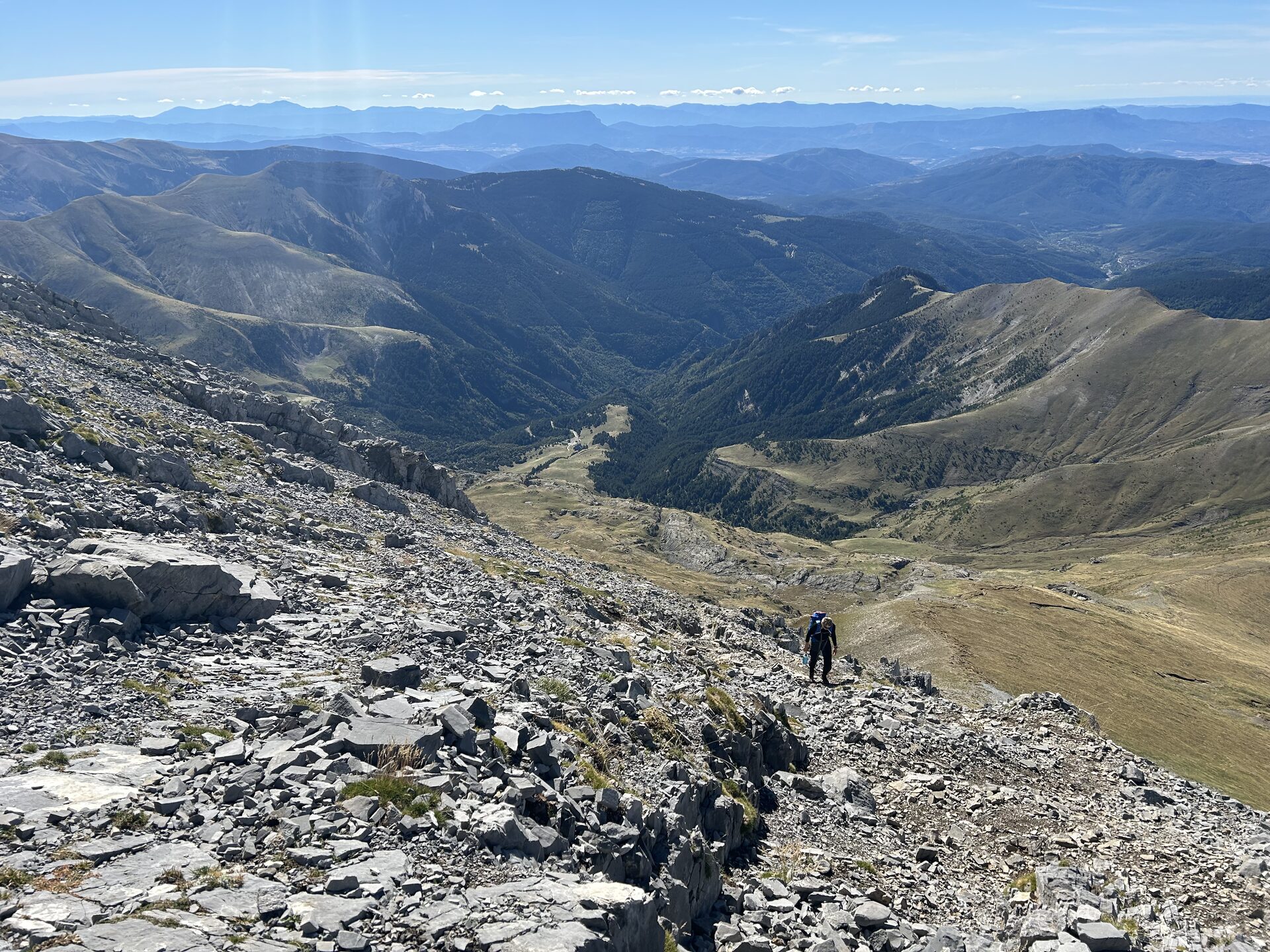
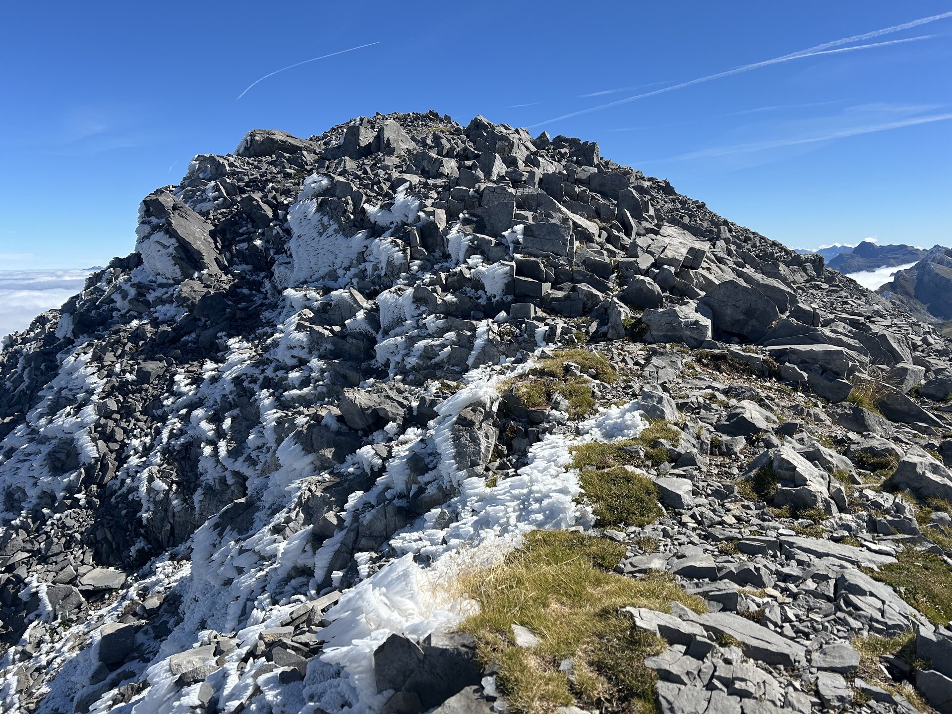
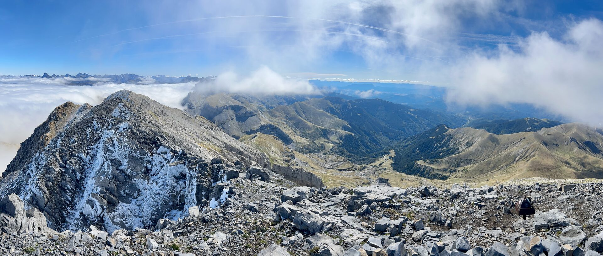
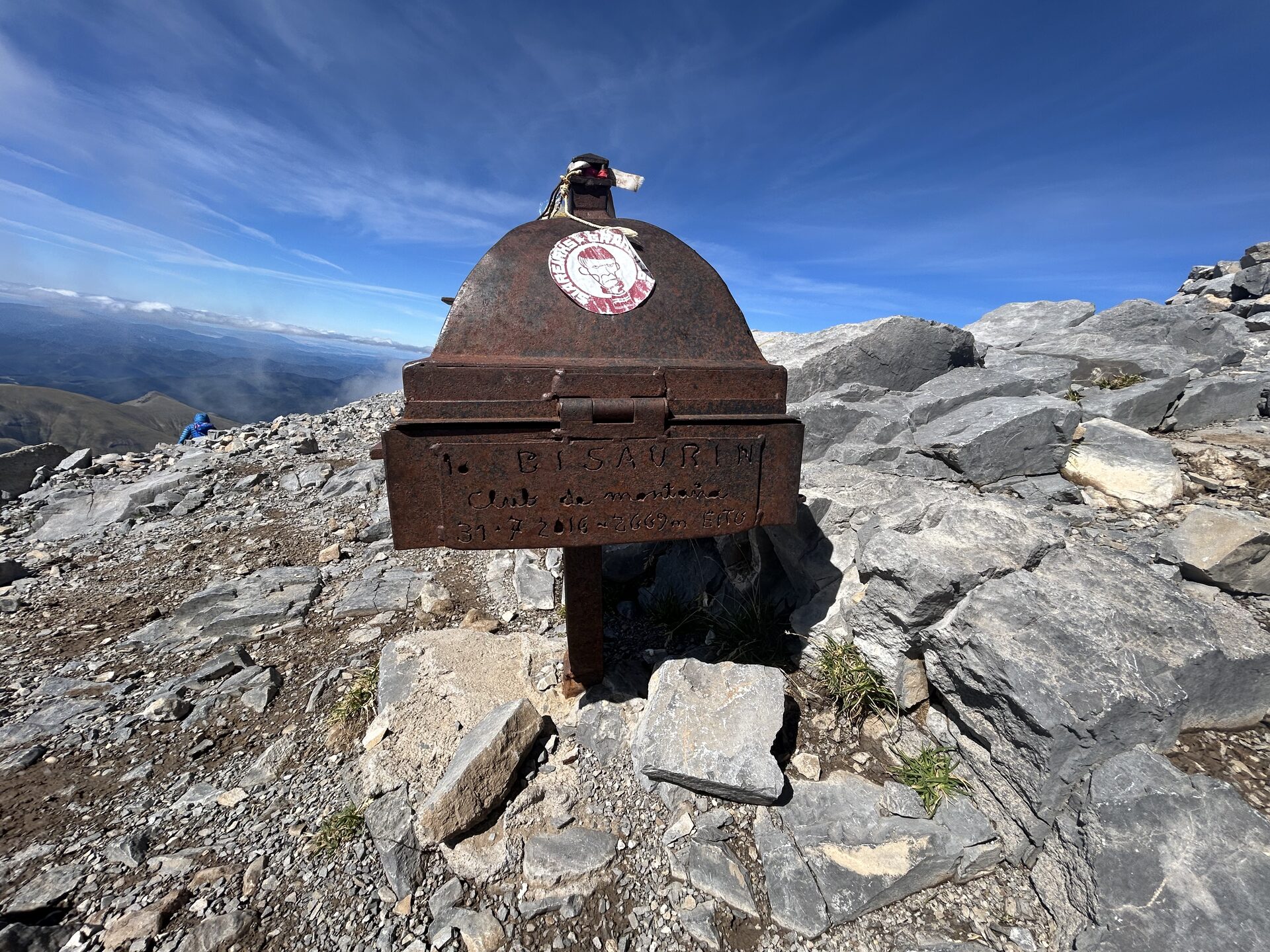
The normal route works its way up toward the Lo Foratón pass and then follows the long southern slope to the top. In summer it is a walk-up with no technical difficulty, though the upper section is steep with loose rock. On this day the snow on the summit changed the feel of it: what is usually a straightforward slog turned careful near the top, and the wind never let up.
The valley stayed sunny the whole time, which made the cold and the gusts up high the memorable part rather than any difficulty in the line itself.
Logistics
Parking
Start from the Refugio de Lizara (~1520 m), in the valley of Aragüés del Puerto. A road leads up the valley to the refuge, where there is parking.
Approach
From Lizara, head toward the Lo Foratón pass, then turn up the southern slope for the summit. Commonly done as a circular of roughly 11 km with about 1150 m of ascent; count on 6–8 hours round trip depending on conditions. Bisaurín can also be reached from the Gabardito refuge in the Hecho valley.